All the best laid plans - Not Quite Scafell Pike

Maybe the main thing that’s wrong with things going to plan, is things going to plan. It’s like writing true stories. You know what happens, so what’s the fun in repeating getting there? I’ve been trying to write a book about a year I spent potato farming in Spain for over 20 years now, and all I’ve got to show for it so far are a few aborted first chapters which trusted writing friends have told me aren’t very good, and a keener sense that I write in order to find things out, rather than setting down things I’ve already decided on or done. This is all very well, but if things aren’t going to go to plan, then perhaps they might do so earlier on in a day out hiking than 10 miles and 5,500 feet in, with a 22kg rucksack full of photography kit on your back.
I’ve made Scree available in draft form for a range of reasons. This partly relates to what I say above – perhaps the project is going to be most interesting in its process of development? Means not ends. Messiness as a virtue. It also relates to my enthusiasm about involving others. Yet it does mean that not everything will be perfect in its initial stages. Take the route outlined in the GPX file for Not Quite Scafell Pike. The first time I did the route, I was running – literally and metaphorically. Squeezing it in on a winter’s afternoon after an early start and a full morning of work on other things. And as I acknowledge on the route page, the GPX file I created that day isn’t perfect. I briefly lose the path on my way around Kirk Fell, involving a short dog-leg to get back en-route, and the same again on the way up Piers Gill. Just where the route becomes scrambly, the GPX file leads you left up the rocks onto a faint trod, whereas the main path heads right, across the top lip of the rocks, above the gill. Neither of the above are serious issues. Both alternative routes are entirely safe, and I’m certainly not the first person to have followed the faint trods on the ground. Yet I did feel that I needed to go back and make good, so when a sunny day coincided with the possibility of a day away from the desk…
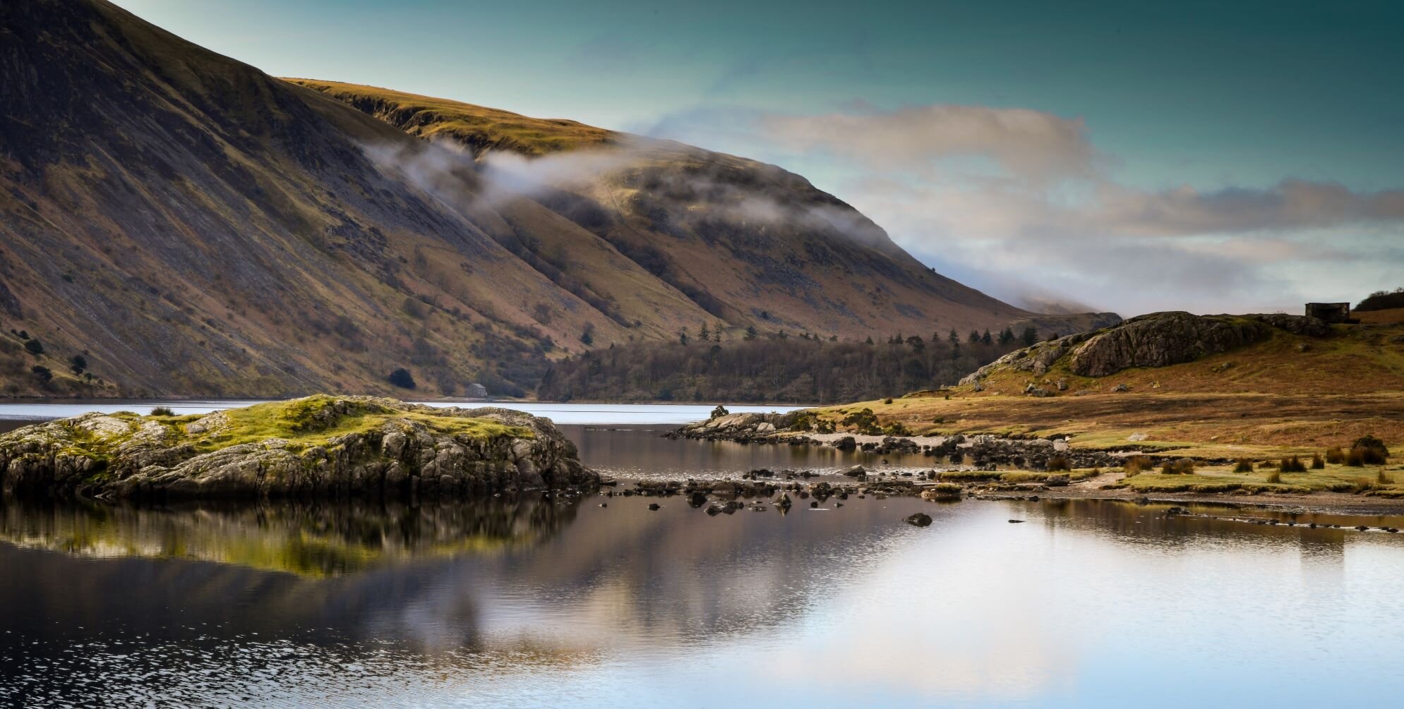
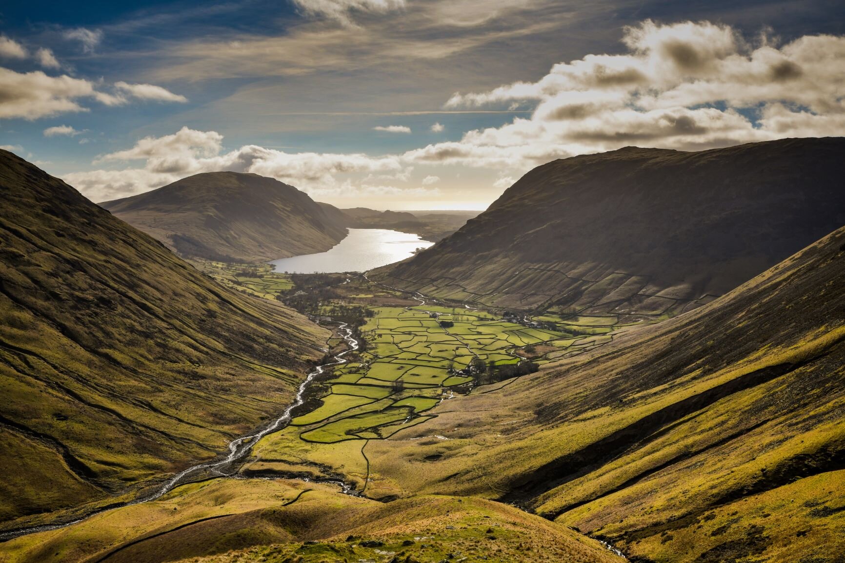
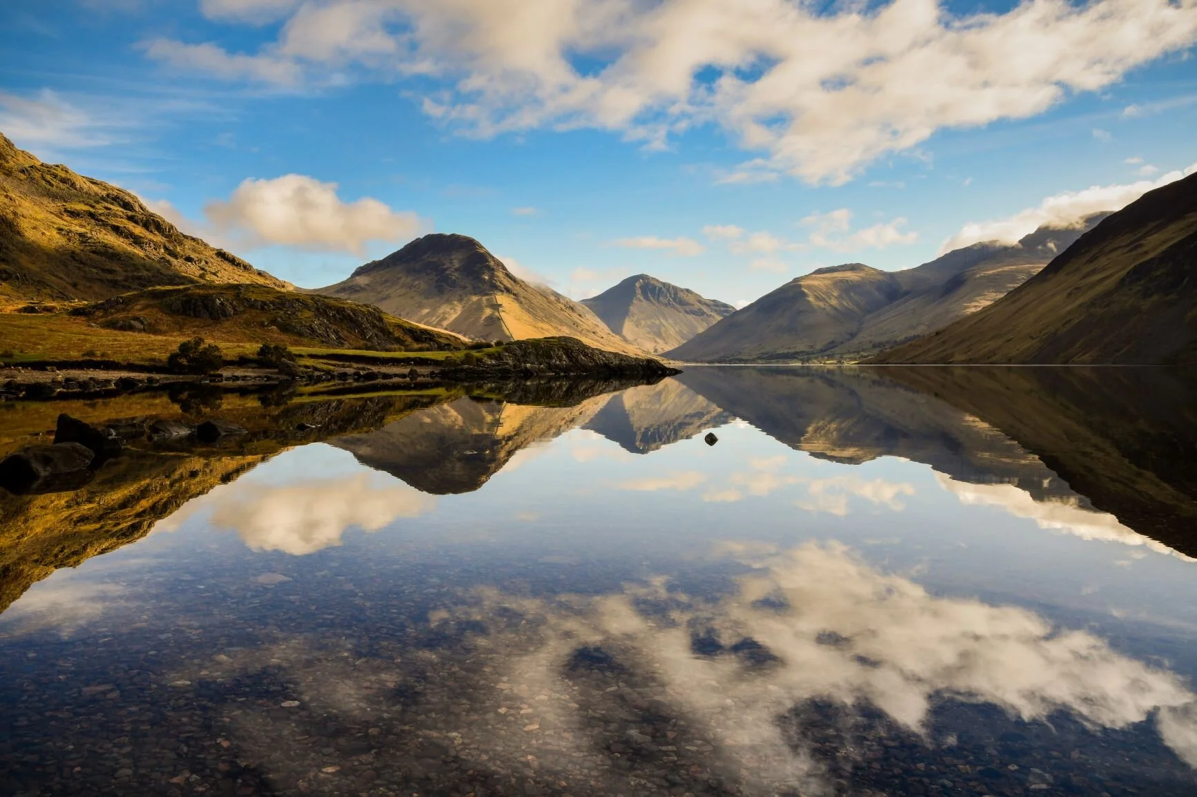
I got to Wasdale only just early enough to catch the reflections in the glassy surface of the lake. Twenty minutes more of pressing snooze on my alarm clock that morning and I’d have missed them. Yet the reflections weren’t the only thing that caught my attention. Behind me, the road was surprisingly busy considering lockdown remained in force, with cars making their (rather rapid) way up the valley. In the absence of clear guidance, my own interpretation of local during the winter lockdown had been to stick to the northern half of the Lakes closest to my home. Of course, as a freelance artist, the project is also my job, so developing the guidebook is work. Yet I doubted very much that all of the cars rushing up the valley were from hereabouts, and when I reached the village green in Wasdale, turned out I’d been right. Rumour had it that the 12 lads who had just turned up in three shared cars with backpacking rucksacks were from Liverpool. I struggled with myself a bit as I set off. I didn’t want to judge – hate judging – but having struggled all winter with obeying the rules during a solo lockdown, I knew that I was. It was 10am and they were drinking beer already.
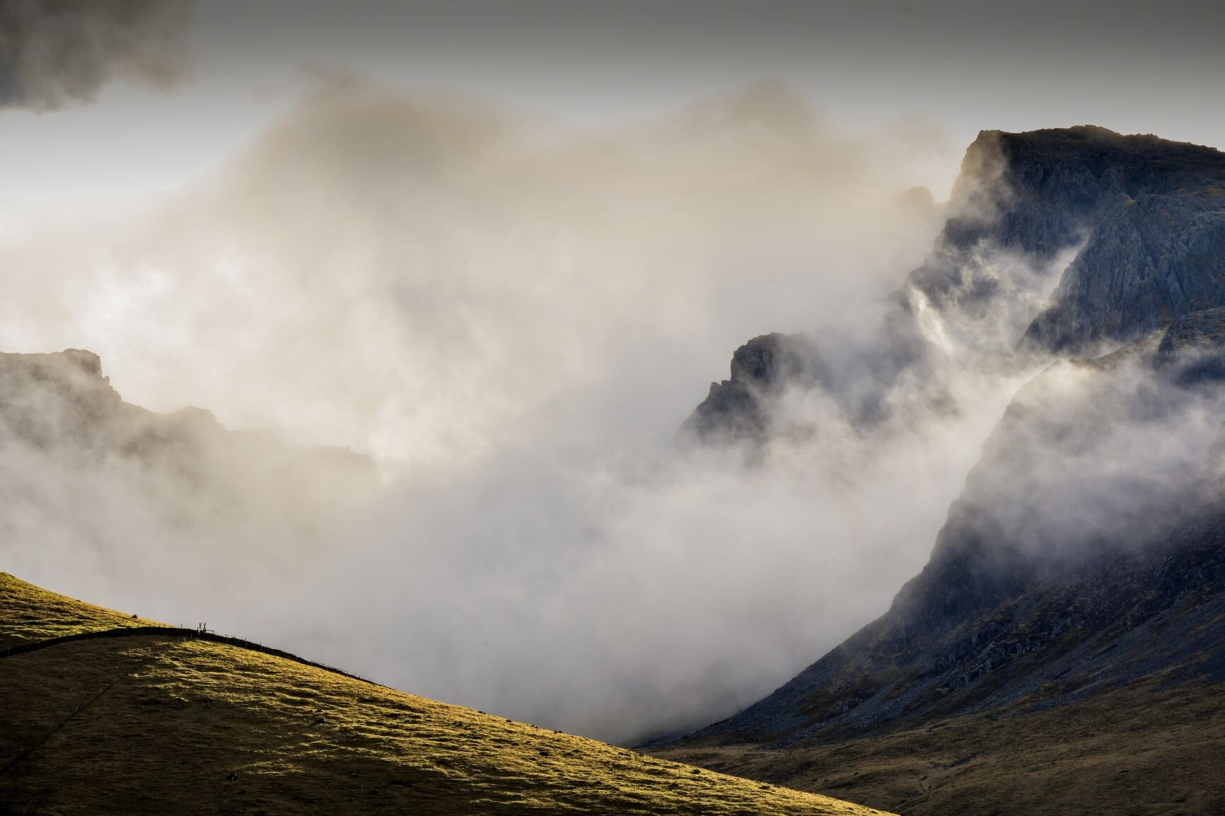
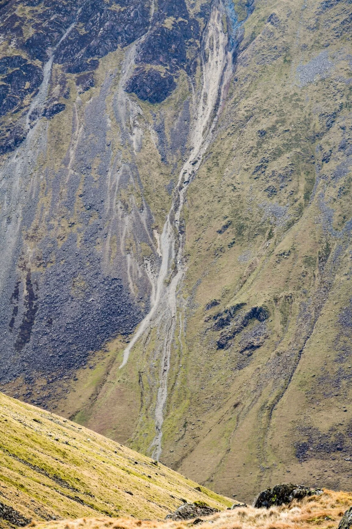
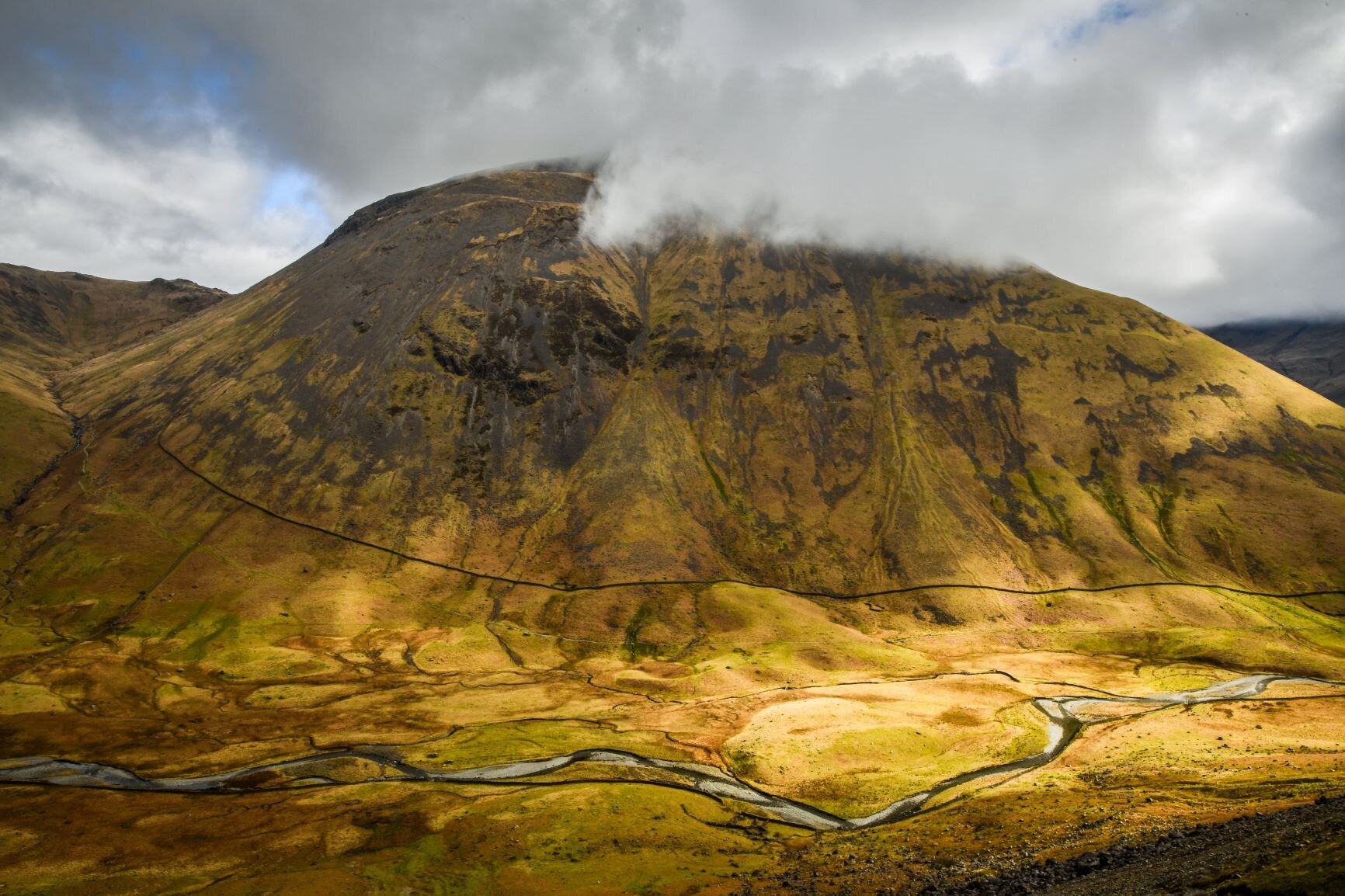
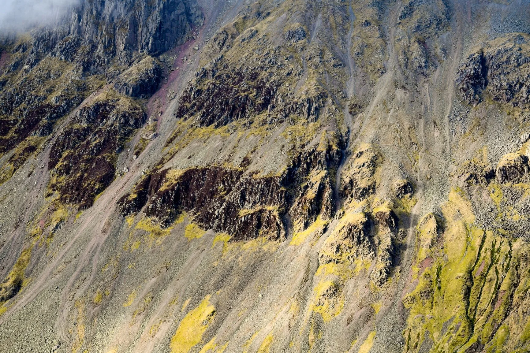
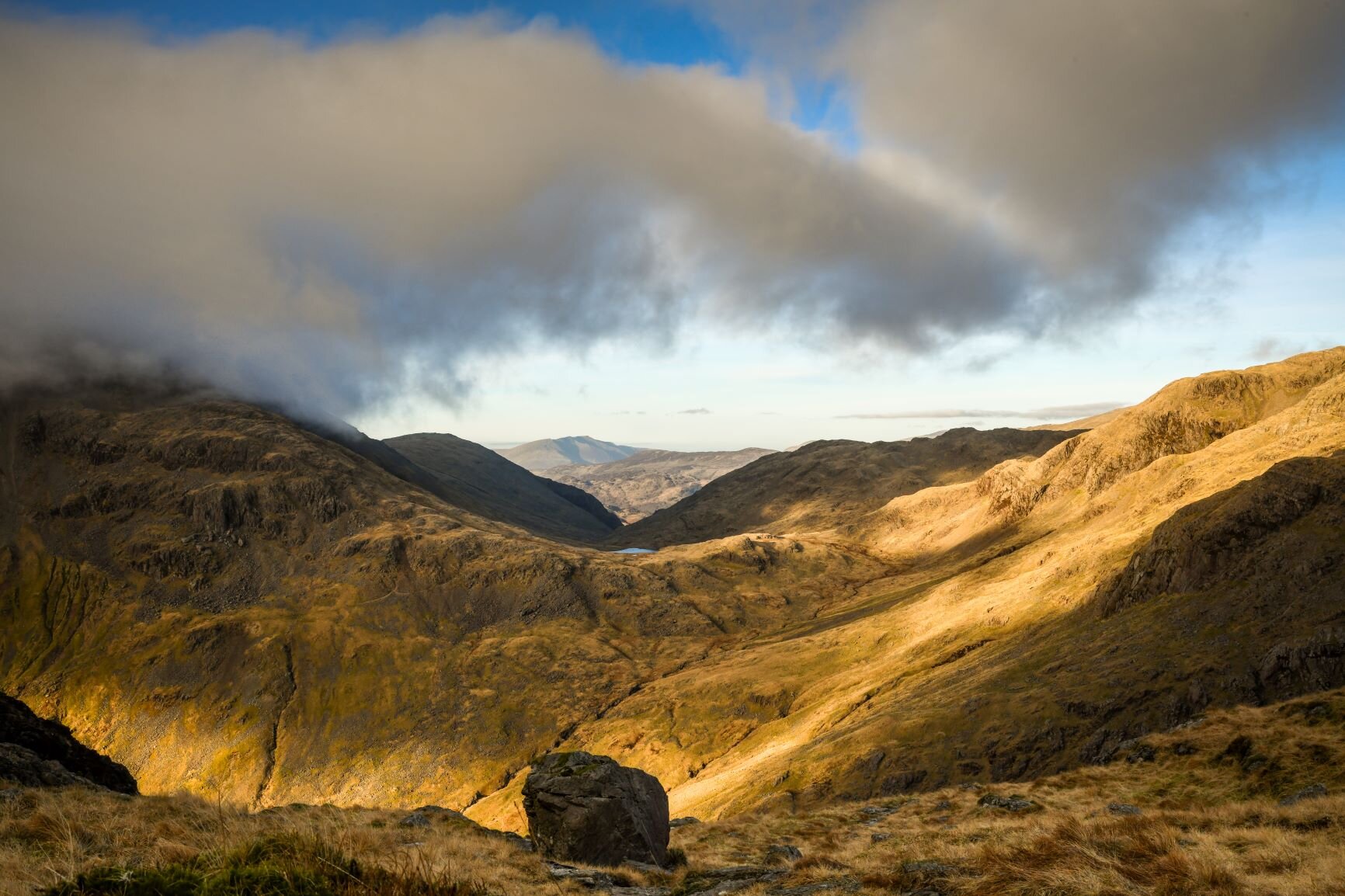
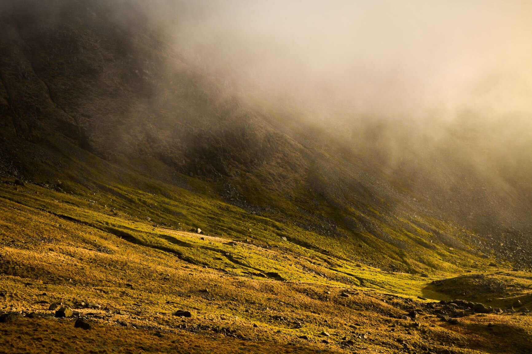
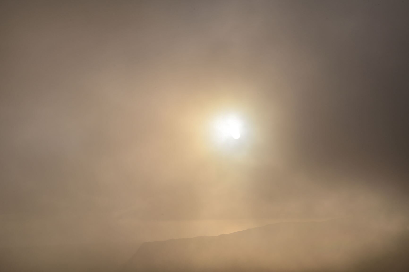
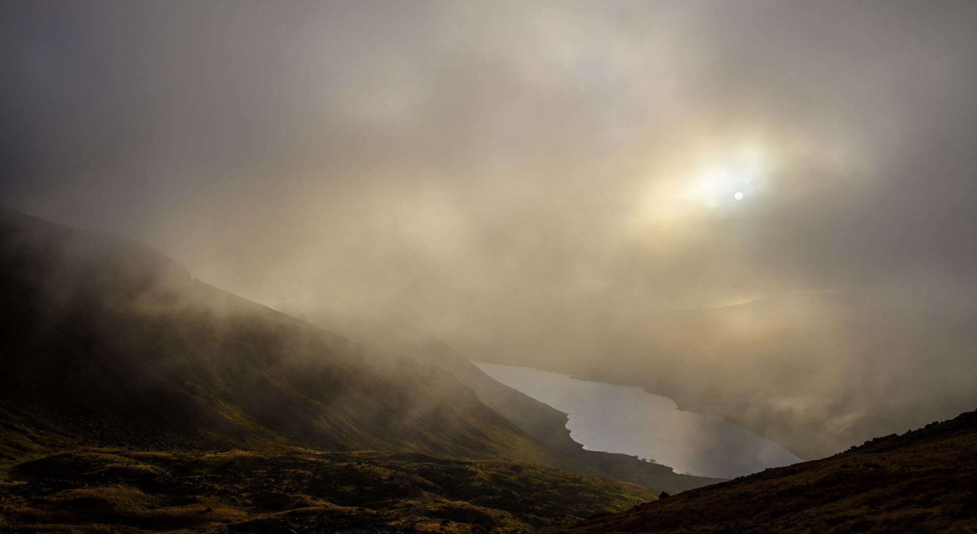
There’s nothing like the unrelenting climb up the Scree to Dore Head to take your mind off judgementalism. Nor the mist sweeping in, making the sudden views as it swept clear again even more breathtaking. My aim with most of the routes in Scree is to include options which are accessible, and of all those routes of which this is not the case, Not Quite Scafell Pike is the most extreme. As a competitive fellrunner, who has completed many of the Lakeland classics, I’m no stranger to long tough challenges. But the new route, which my collaging of the Scafell Pike route instructions had created, is a beast (I plan in fact to re-do it sometime soon to provide a more realistic alternative). It’s not hugely long, as such. 12.5 miles. But many of the paths are faint, the going often rough, and the route never stops going up and down the 6,500 feet of climbing involved. Today I’d decided to walk in order to bring my DSLR with me to capture some better photos than last time. I’d been enjoying the fact that carrying my camera had slowed me down these last couple of months. All 22kg of it.
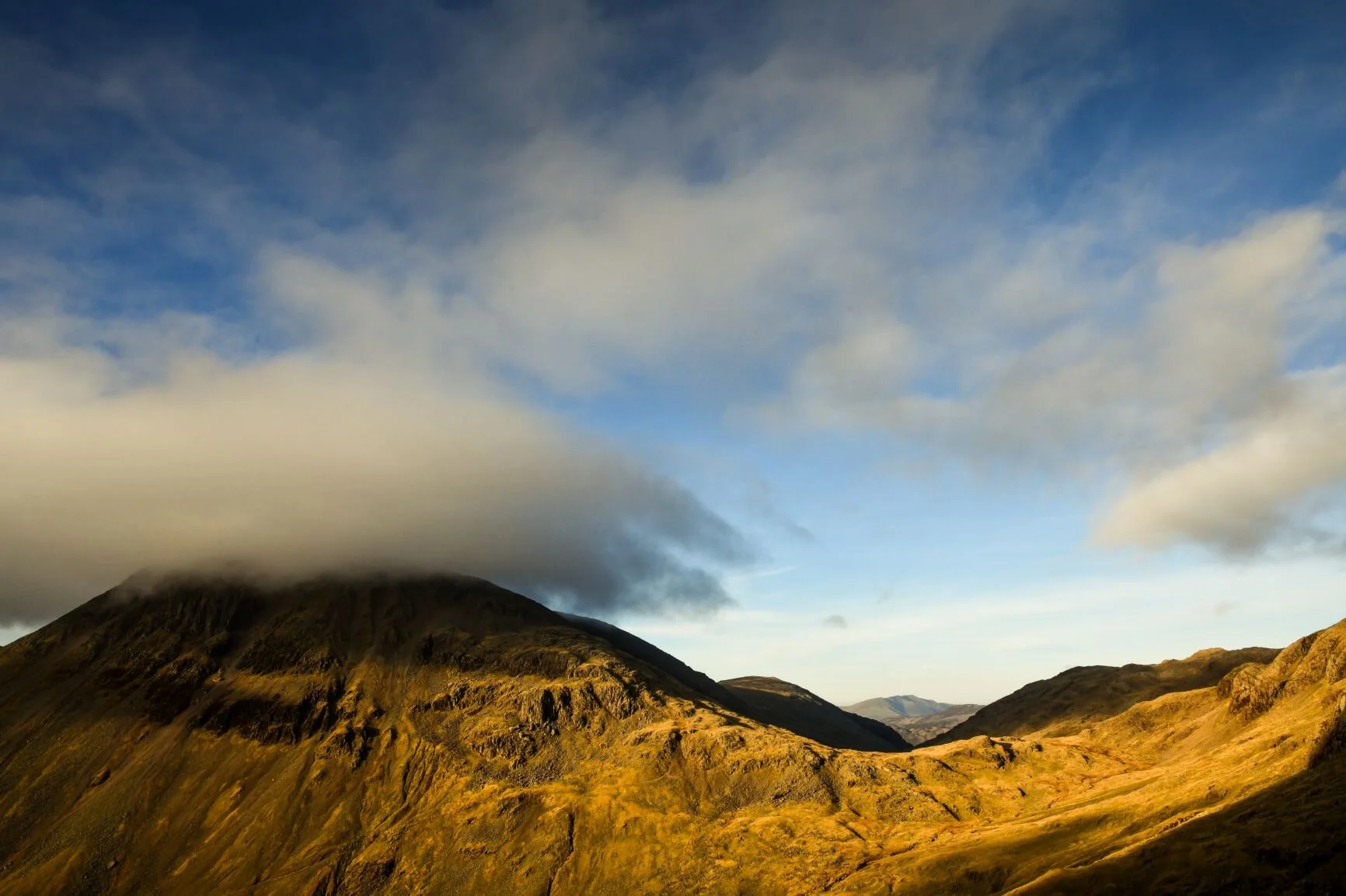
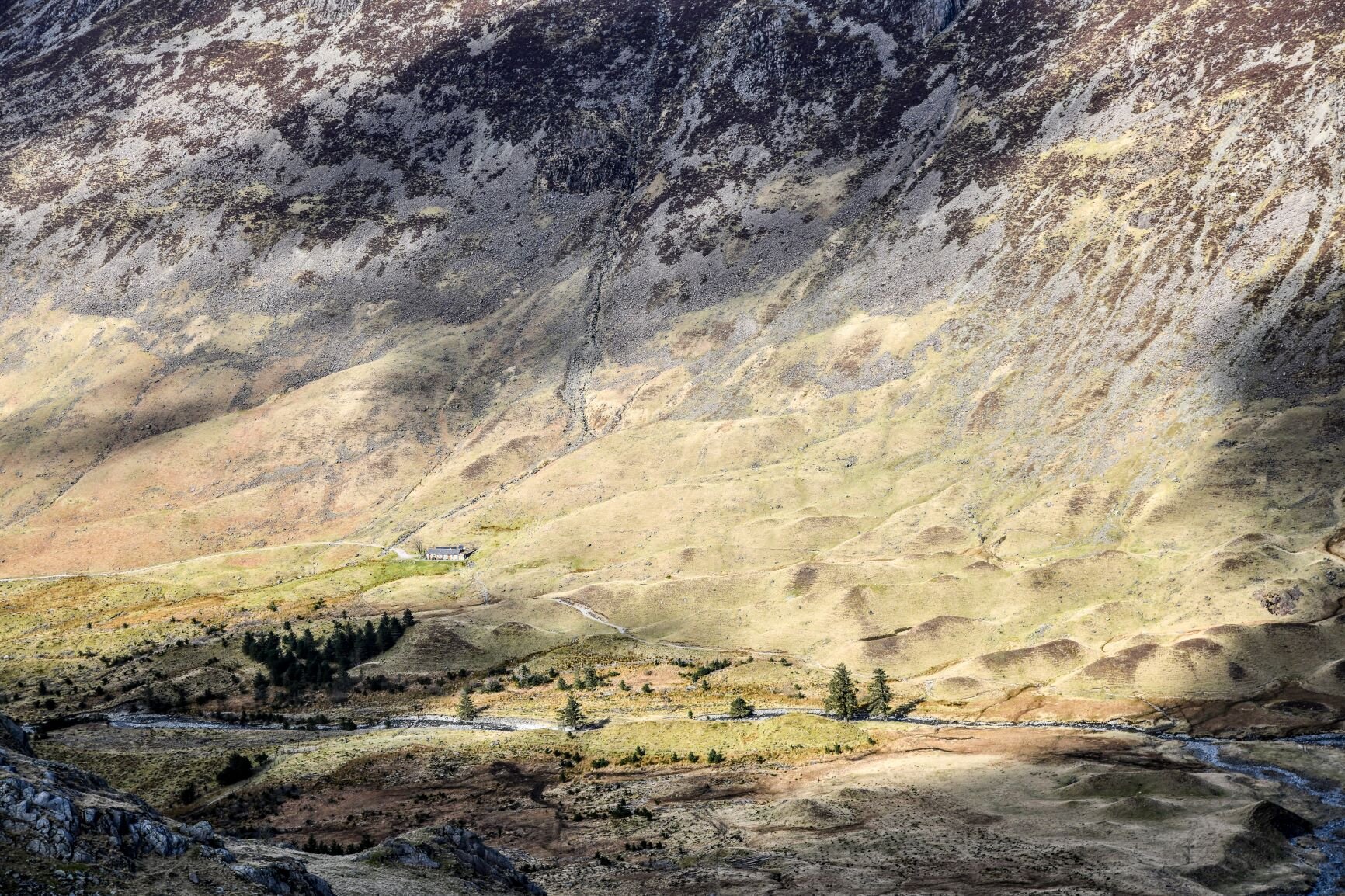
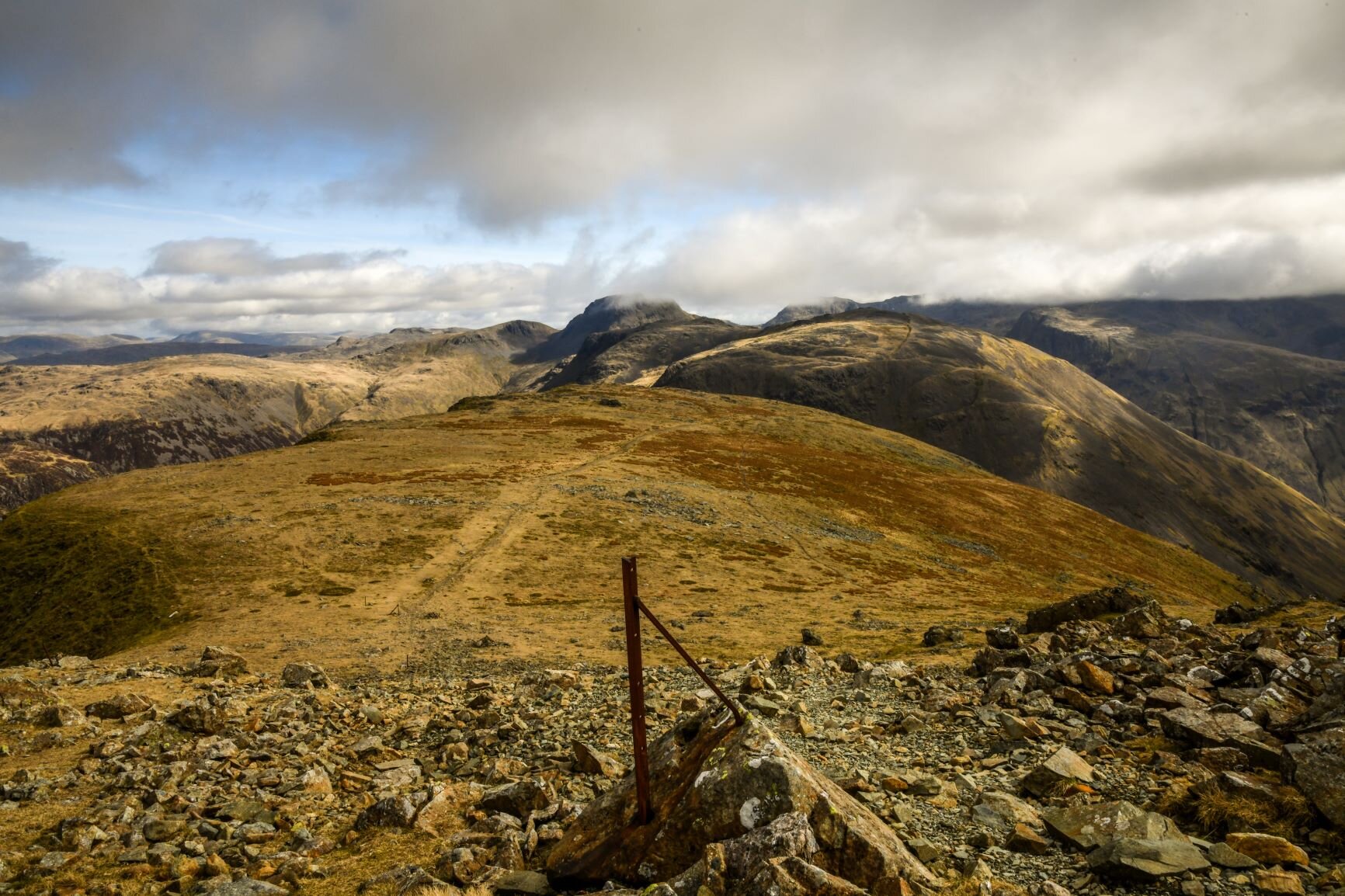
I guess one way of thinking about my route that day was that I was seeking to perfect my route. And of course, there’s nothing like seeking out perfection to ensure errors. First, I cut off the corner at Scoat Fell a little early after the descent from Red Pike: when I checked the red line which my footsteps had just created on the online map, it performed an entire 360 degree loop before getting back en route. I then made exactly the same mistake as last time on my way around Kirk Fell, and the improvement on my line at Beck Head was definitely not a better improvement. This said, most important of all to me was nailing the route up Piers Gill. It was with a certain smugness (hate smugness) that I worked out where I’d gone slightly wrong last time, and took the right line up the rocks. The view, meanwhile, over Styhead towards Blencathra was spectacular; having taken a few pictures with my DSLR, I decided to replicate this on my phone for social media. The photo I took might have been a beauty, but that was soon beside the point as my phone crashed. It was so crashed that I struggled even to turn it off, and by the time I had restarted it…the route was blank. Deleted. Gone. I’d just gone and climbed 5,500 feet with a rucksack which was almost half my body weight for nothing. I jabbed furiously at the buttons on my phone, a bit like how my Dad (who is rather new to the world of mobile phones) is prone to doing. But the technique worked no better for me than it ever did for him.
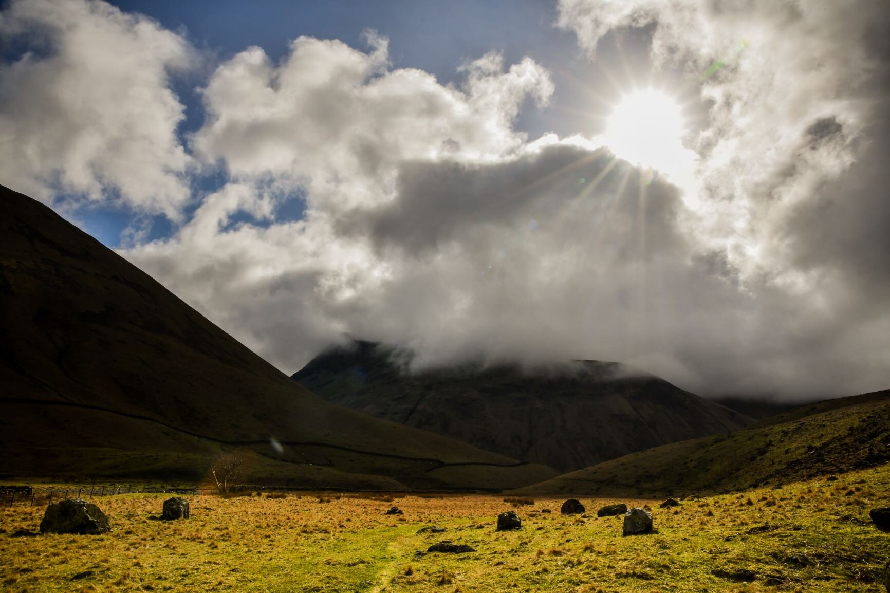
I sat down on the rocks for a few moments and took a breather. It wasn’t far now until I reached the Corridor Route, let alone Lingmell Col. I was almost there - as close to the summit of Scafell Pike as it would get, without getting there. Most of the distance had been covered, and almost all the climbing done. But the day out had been wasted. I’d done it all for nothing. I’d failed? Of course I had. It was one of the best failures I’d had for many weeks now. It was one of the best days out - yes, ever, in a flexible sense of ‘ever’. I decided to vary the route down from the way the route would have taken me. Because now I could. And do you know, I think it was an improvement too.